Glen Gyle
Glen Gyle is a small glen at the northwestern head of Loch Katrine, in Loch Lomond & The Trossachs National Park. Its name comes from the Gaelic Gleann Goill, “glen of the stranger”; Gall (genitive Goill) is an old Gaelic word for a foreigner, later applied to the Norse. On Ordnance Survey maps the glen itself is shown as two words - Glen Gyle - while Glengyle Water (the burn that drains it) and Glengyle House (at the head of the loch) are written as one.
The glen runs roughly east-west. Its mouth opens onto the head of Loch Katrine, where Glengyle Water meets the loch beside Glengyle House. From there the floor of the glen climbs gently westward, narrowing as it goes, with rough pasture, bracken, and rocky outcrops on either side. The largest tributary, Lag a' Chuirn, rises on the slopes between Stob nan Eighrach and Meall Mor and joins the main course in the upper glen.
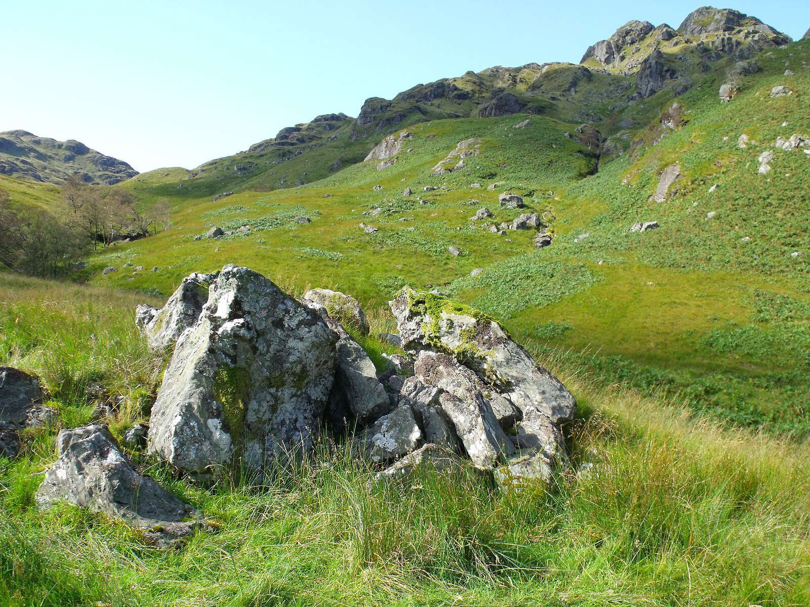
The photographs below follow the glen down from the upper reaches to the head of the loch. Most are by ian shiell, taken on a single walk on 15 September 2011; the closing photographs, at the loch head, are by Steven Robertson, from a visit in April 2026.
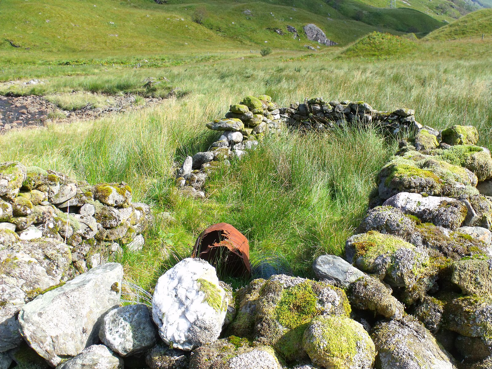
The upper glen and the ruin
For centuries the glen was held by a branch of Clan Gregor known by the patronymic Clann Dubhgall Cheire - the children of Dougal Ciar - whose seat at the head of the loch became Glengyle House. The glen itself was worked as grazing ground, and the remains of small buildings still stand among the rough pasture.
Lag a' Chuirn
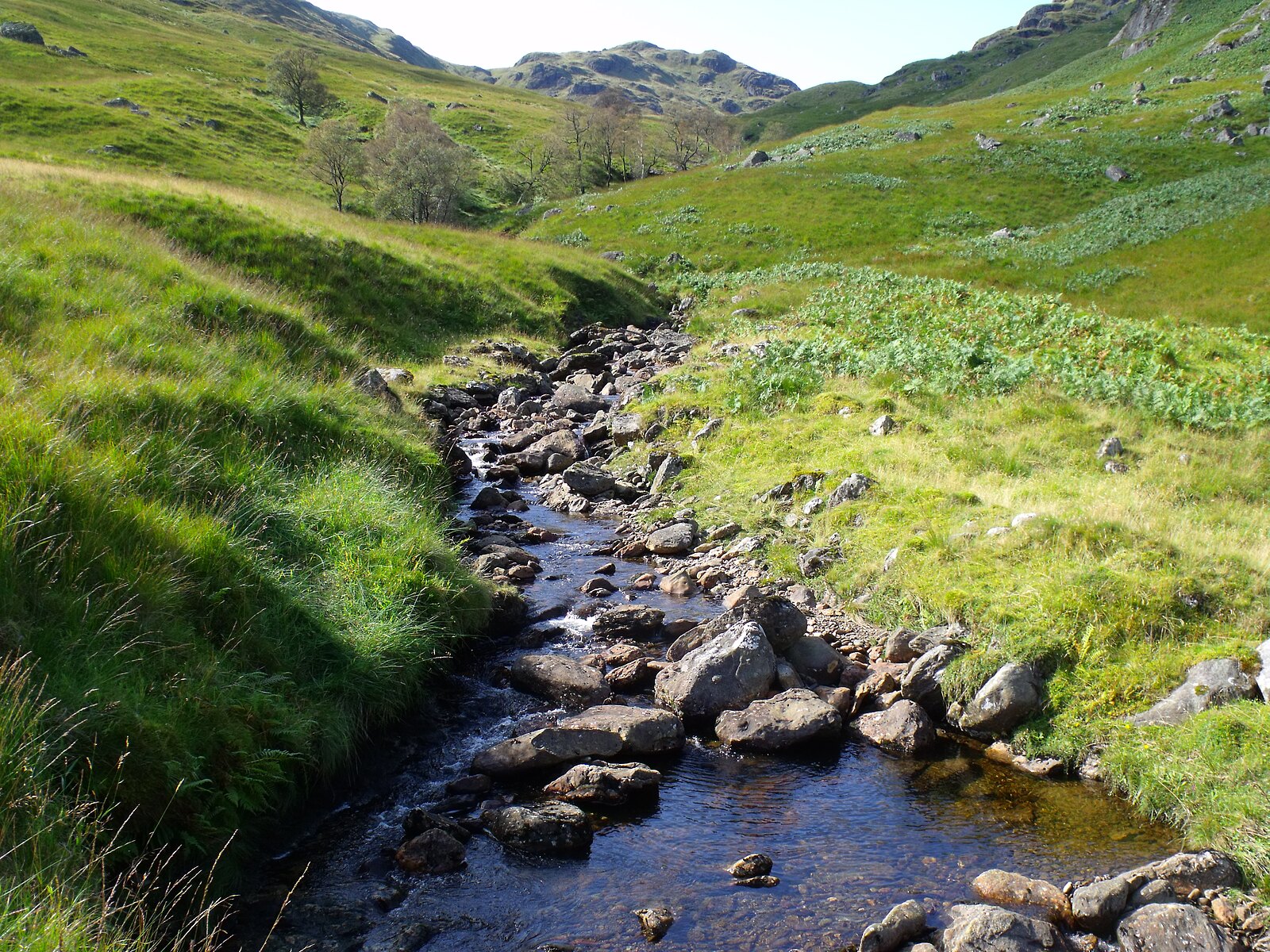
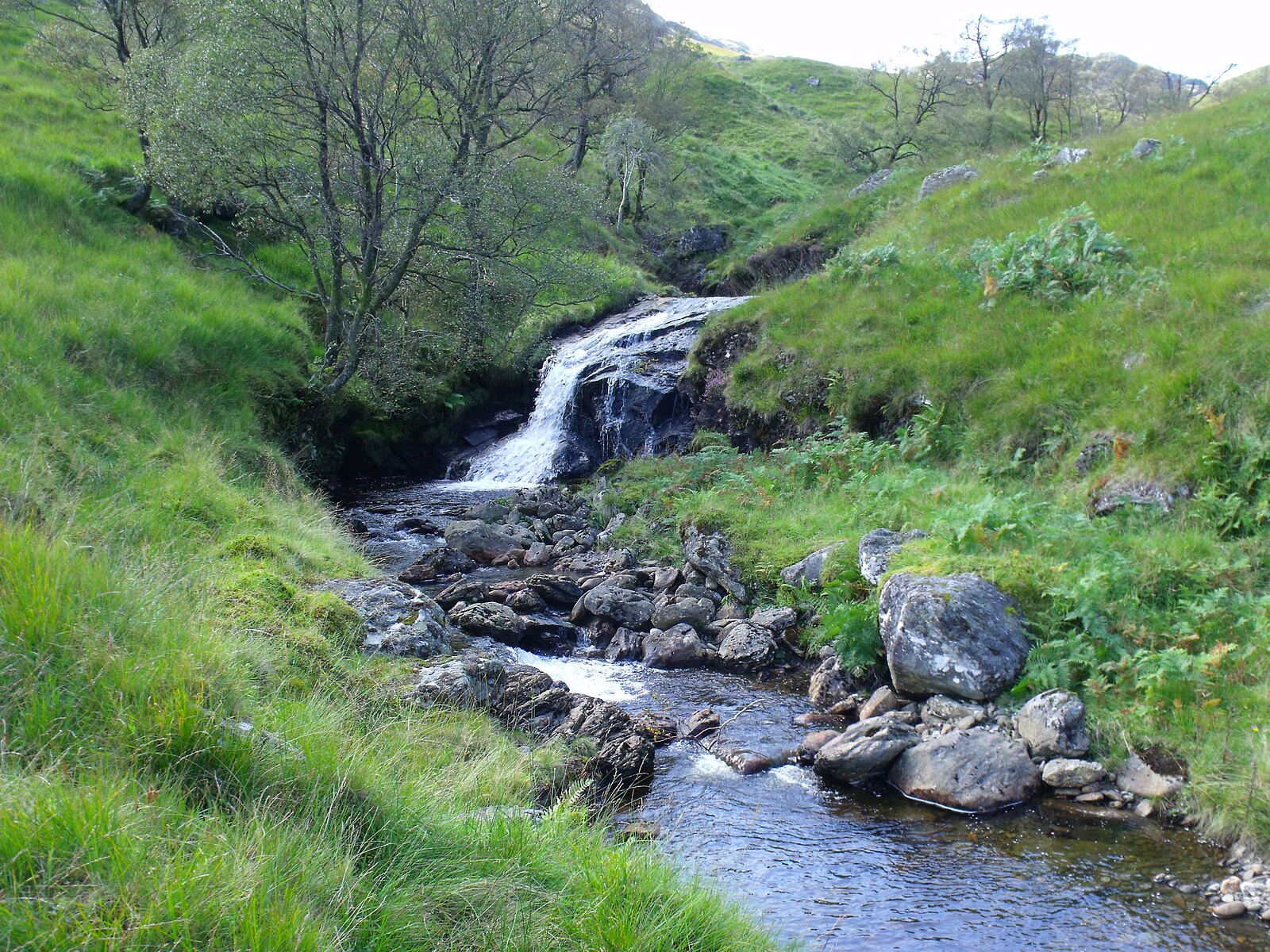
Lag a' Chuirn is the main tributary of Glengyle Water, dropping down from the high ground on the southern side of the glen. Its course is rocky and quick, cutting between mossy banks under birch and rowan, with small falls where it crosses harder rock.
Slopes of Beinn Ducteach
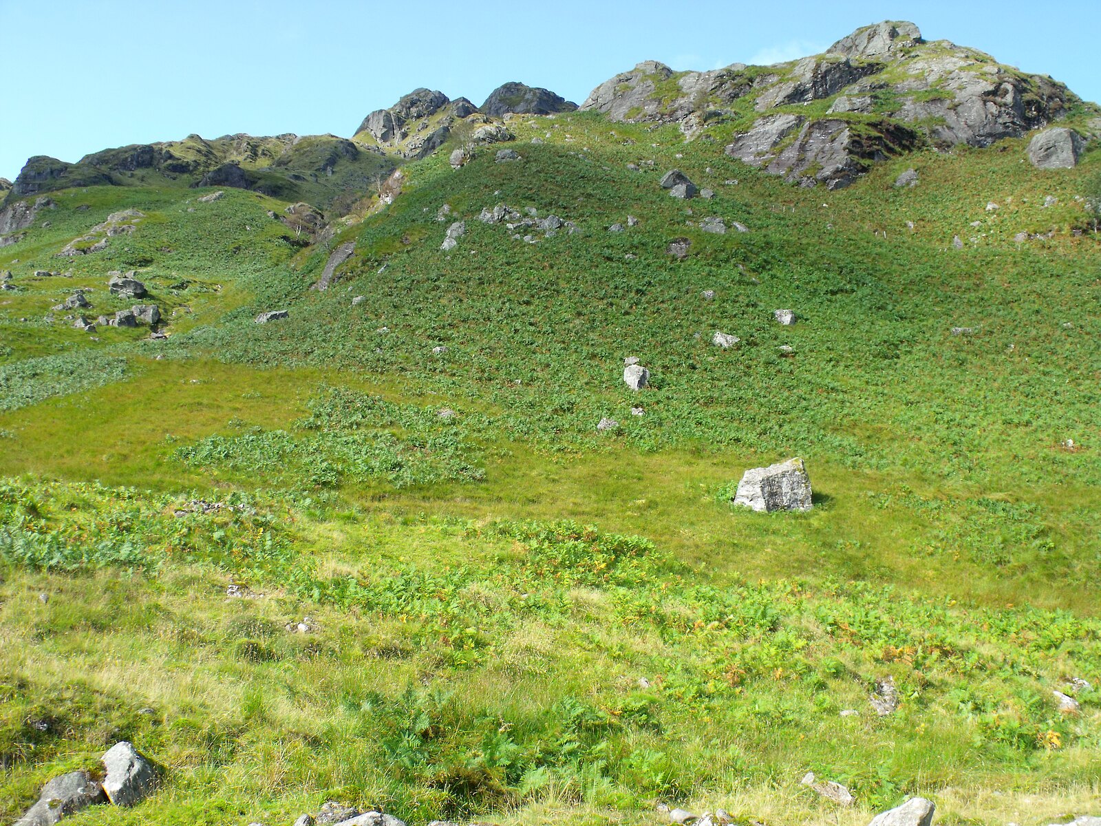
The glen is bounded to the south by Beinn Ducteach. Its lower slopes are open and largely treeless, with rocky crags breaking the green of the bracken. In late summer the bracken turns rust-coloured and the contrast with the grey crags above is sharp.
Middle glen
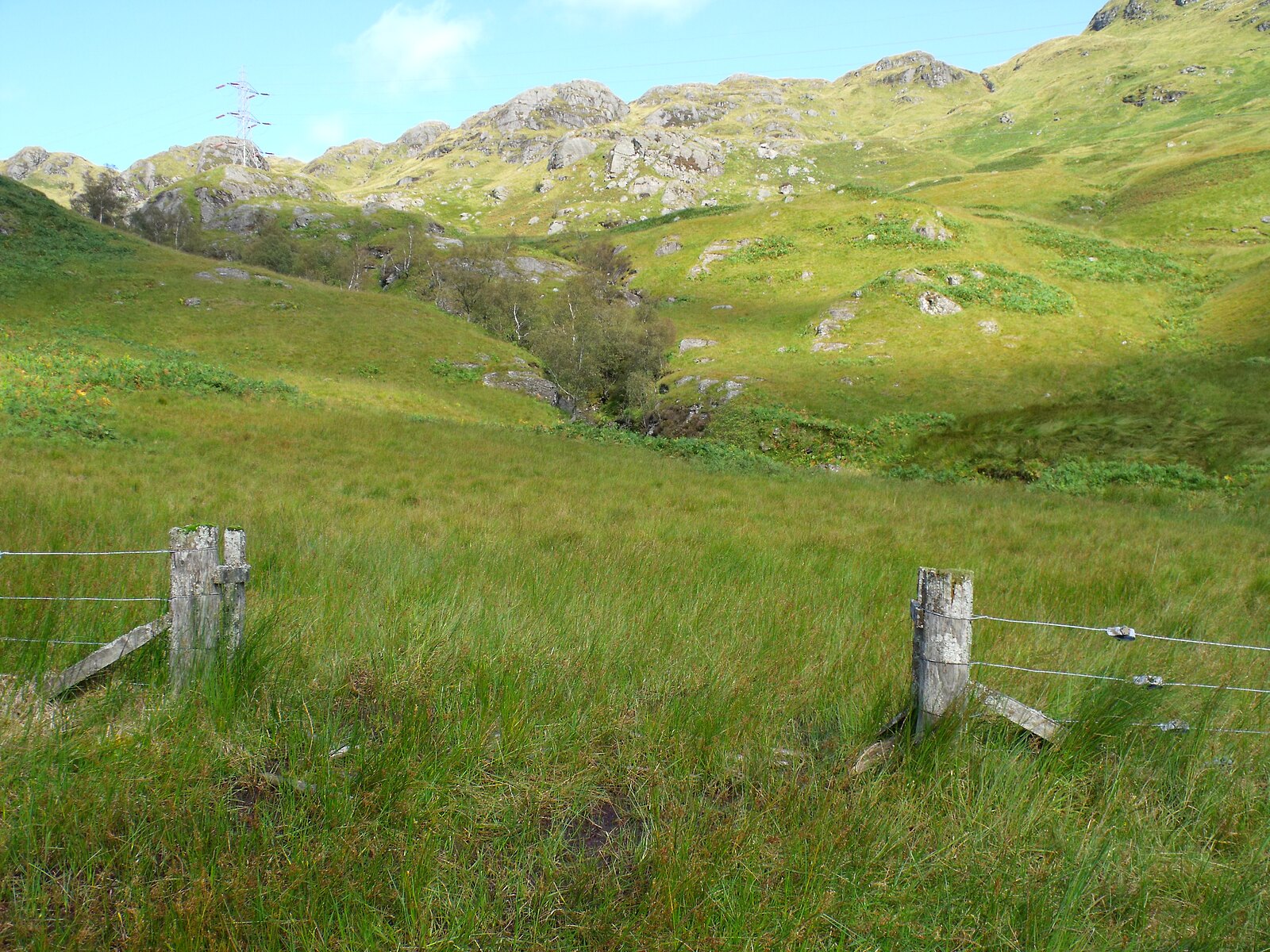
In the middle reaches the slopes open out. An old wire fence with weathered strainer posts runs across the floor of the glen here, a relic of grazing arrangements long after the MacGregor tenancy ended. Beyond it the rocky ridge along the skyline shows the broken character of these hills.
Lower glen
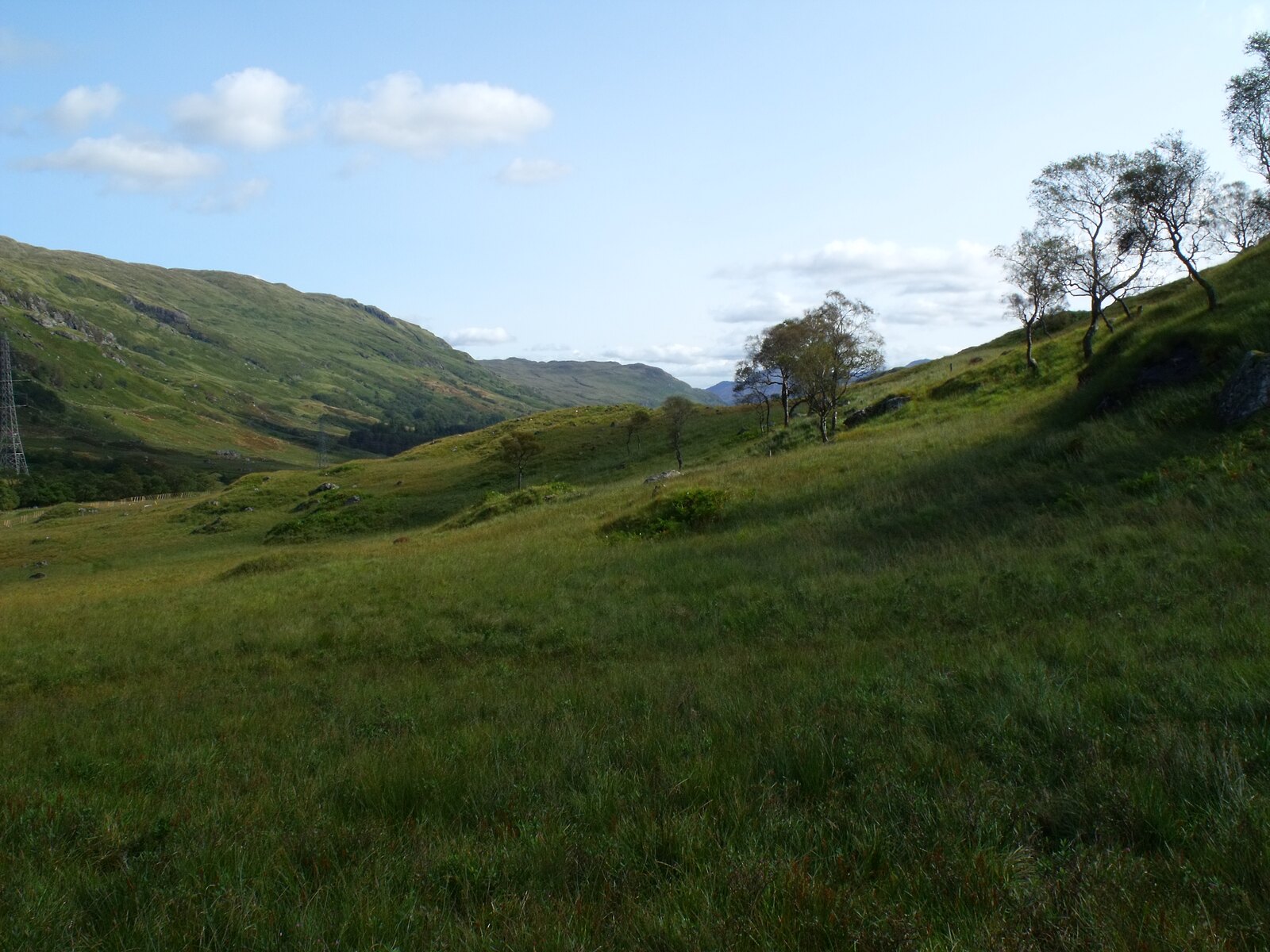
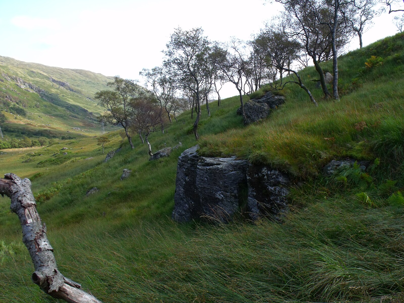
Lower down, the floor of the glen rolls eastward towards the head of the loch, framed by the hills on either side. A few birches survive on the south-facing slopes.
The head of the loch
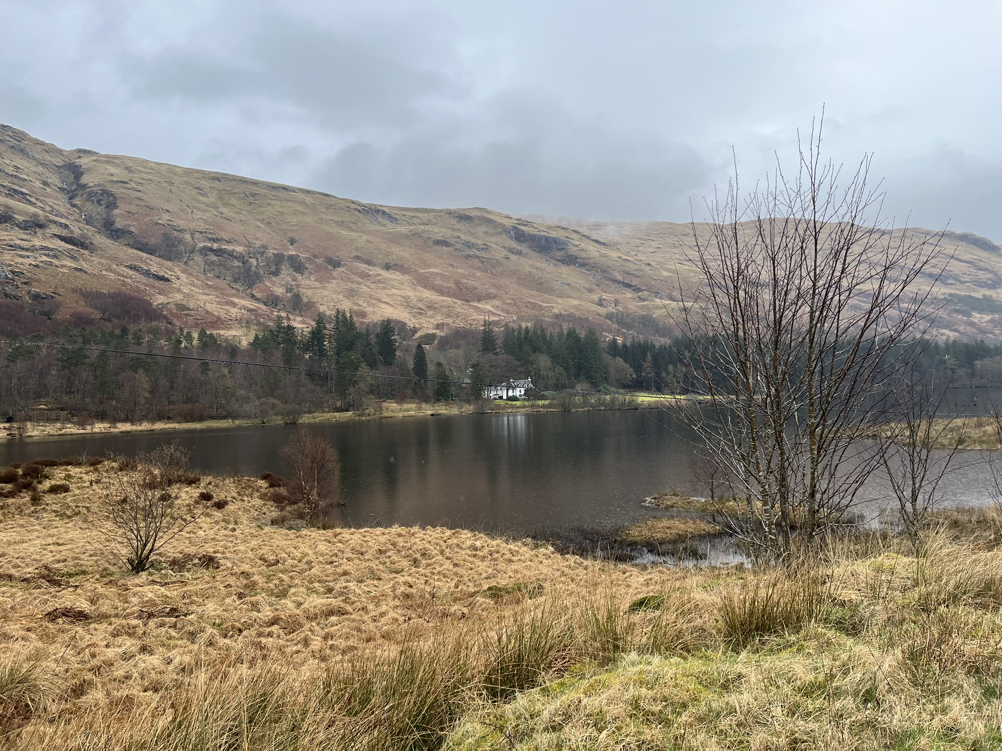
At the foot of the glen Glengyle Water comes down to the head of Loch Katrine. Glengyle House stands on the far shore, across the water from the mouth of the glen.
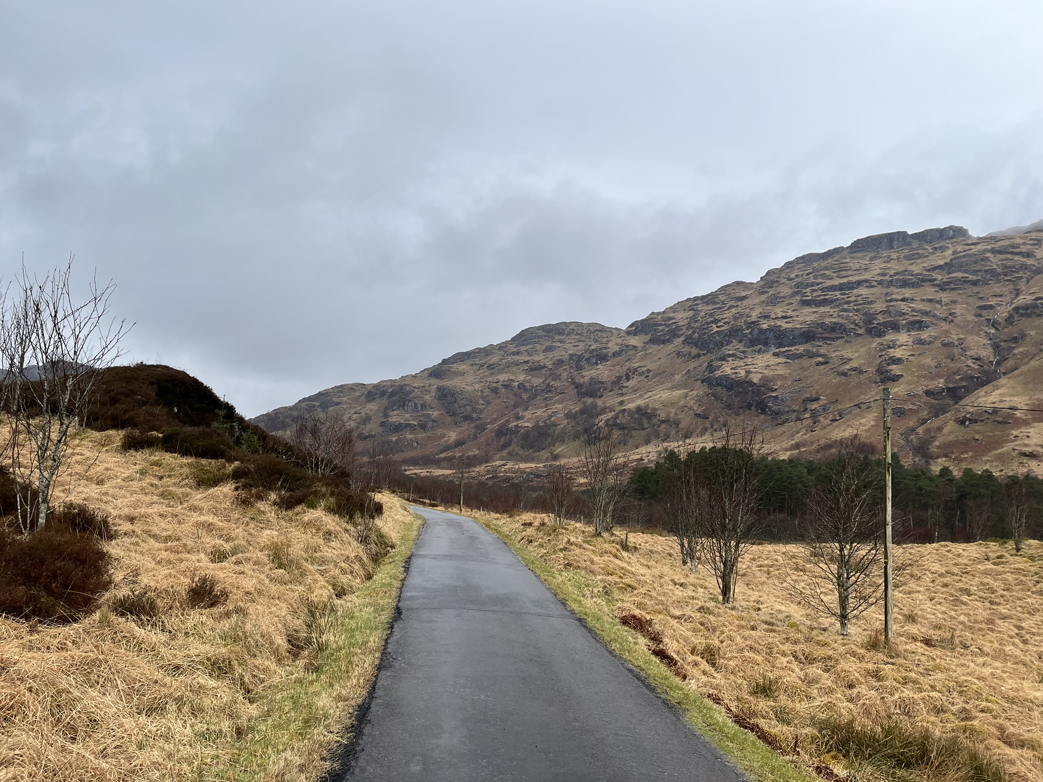
Looking back from the loch head, the single-track road climbs away into the mouth of the glen.
Location Map
The glen is reached today by the private Scottish Water road that runs along the north shore of Loch Katrine from Stronachlachar. It is closed to motor traffic but open on foot and by bicycle.